Connecting Estero Bay
The communities of Estero Bay – Morro Bay, Cayucos, and Los Osos are integrally connected by the natural environment, economically, and socially. Located on California's famed Highway 1, they form the southern terminus of the Big Sur corridor and welcome thousands of visitors annually. The area's natural beauty is an inherent draw for tourism and forms the basis of the local economy. They are tightly-knit communities, with schools, clubs, and informal groups drawing from the entirety of Estero Bay it is common for residents to travel between communities to access activities and services.
Currently, two roadways provide a connection between the three communities, Highway 1 and South Bay Boulevard. Motorized traffic is prioritized by design, limiting opportunities for active transportation. Cycling infrastructure is typically shared on roadways. Furthermore, bicycle routes are often circuitous with blind curves and road debris creating substantial safety barriers. This proposal, anchored by a three-quarter mile long bicycle causeway, seeks to eliminate these barriers and simultaneously enhance recreational and economic opportunity by creating a continuous ten-mile pathway for pedestrians and cyclists that is completely separated from motorized traffic.
Following this new alignment, the cycling route becomes significantly shorter (and safer) between three key commercial centers – Cayucos, Downtown Morro Bay, and the Baywood Commercial District – and provides a convenient new transportation alternative for both residents and visitors.
Ecological Considerations
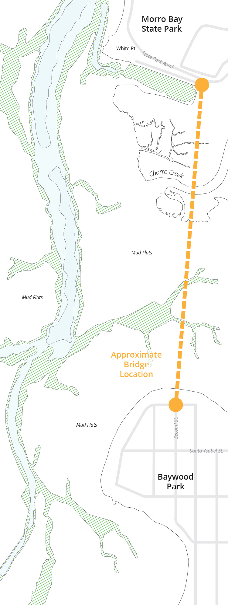
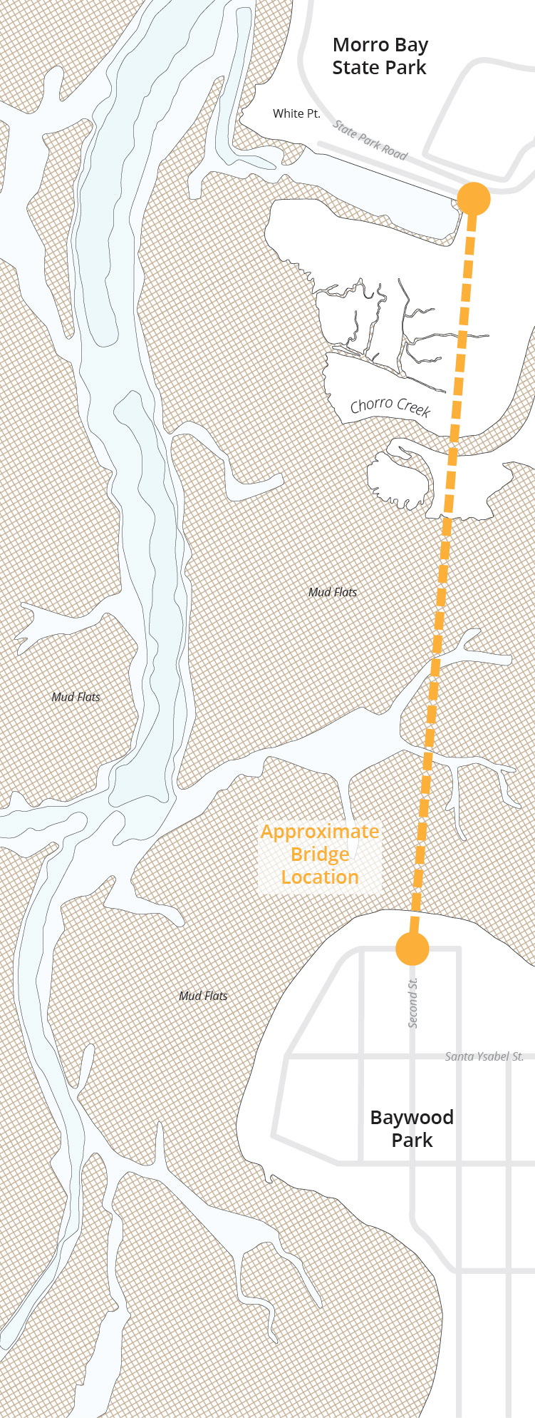
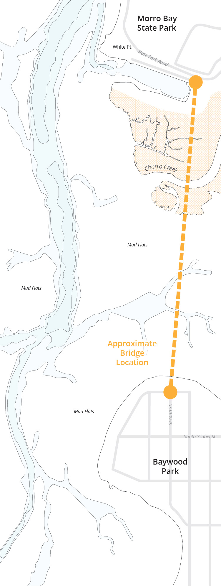
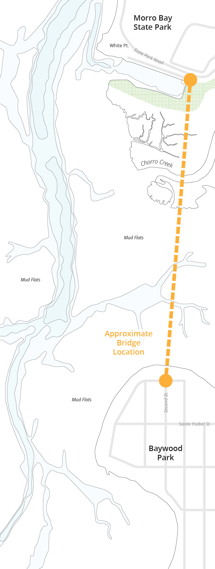
Morro Bay’s estuary provides critical wildlife habitat and protects the bay’s water quality. Beds of Eel Grass filter out excess nutrients and increase oxygen levels in the water, reducing impacts from ocean acidification and providing critical habitat for endangered species such as the Tidewater Goby. It also stabilizes sediment, preventing shoreline erosion and mitigating impacts from sea-level rise. The estuary supports four critical habitats: Eel grass beds, mud flats, salt marsh, and coastal scrub.
Despite the sensitivity of the estuary’s ecosystem, it is possible to minimize disturbances during construction. The Mattapoisett Multi-Use Trail in Massachusetts can serve as precedent as to how construction impacts can be mitigated. Also a national marine estuary, constructing a bridge across the salt marsh of Buzzard’s Bay presented several ecological considerations similar to Morro Bay’s estuary. Before construction, a structural analysis was performed to determine the minimum height of a bridge deck so as not significantly impact vegetation growing in the marsh below, concluding the minimum height of bridge deck should be 8-feet above the marsh surface. During construction of the bridge platforms were used to distribute the load of heavy equipment needed to drive piles. Once pylons were installed, the bridge deck itself could be installed incrementally by placing equipment on finished bridge sections rather than on the marsh surface.
The Mattapoisett Multi-Use trail was built across Buzzard's Bay National Marine Estuary in Massachusetts. (Photo Credit: Mary Serreze/Townsquare Media)

Eel Grass (Not to be Disturbed)

Tidal Mud Flats

Salt Marsh
